Land Surveying
We Help Set the Groundwork for Your Projects
In our first 60+ years of business, Weihe Engineers has performed surveys for clients to build with confidence. While the need for timeliness, thoroughness and accuracy have remained constant over the years, the use of high-tech equipment combined with well-tenured professionals drives our ability to satisfy the demands of buyers/sellers, developers, owners, contractors, architects, and other building professionals.
Surveying Services
Fast Facts
Featured Work
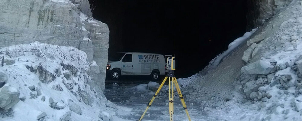
Not all surveying takes place above ground. For example, by providing control monuments in this mine, workers better understand their location and can track progress.